
Stage 6 Route Map. A map showing the 55.6 mile route of Stage 6 along the Blue Ridge Parkway starting at Meadows of Dan, VA and ending south of Roanoke, VA. Click here to view Stage 6 in Google Maps.
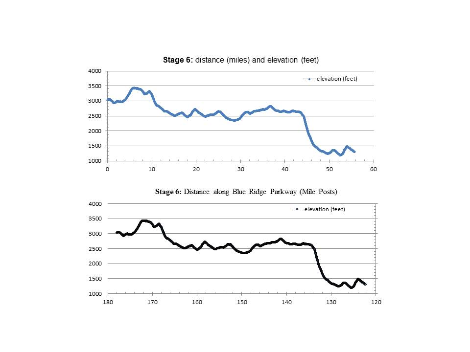
Stage 6 Elevation Profile Graphs. The upper graph shows distance ridden (miles) and elevation climbed (feet). The lower graph shows distance ridden (Blue Ridge Parkway Mile Posts) and elevation climbed (feet).
