
Stage 9 Route Map. A map showing the 40.0 mile route of Stage 9 along the Skyline Drive starting at the southern terminus of the Drive at I-64 and ending southeast of Elkton and Harrisonburg, VA. Click here to view Stage 9 in Google Maps.
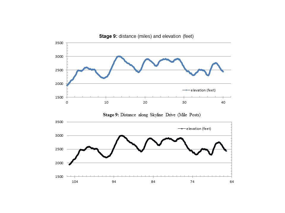
Stage 9 Elevation Profile Graphs. The upper graph shows distance ridden (miles) and elevation climbed (feet). The lower graph shows distance ridden (Skyline Drive Mile Posts) and elevation climbed (feet).
